

USA Freezes Under Arctic Blast: Snow, Wind Chill
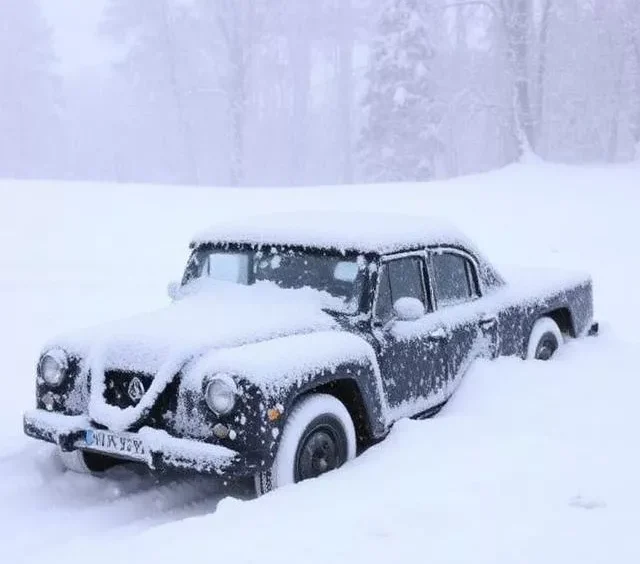
USA Freezes Under Arctic Blast: Snow, Wind Chill
As winter tightens its hold on the United States, today’s weather forecast for December 11, 2025, paints a picture of biting cold, scattered lake-effect snow, and potential travel disruptions from the Great Lakes to the Appalachians. With a disrupted polar vortex ushering in some of the season’s coldest air, Americans from coast to coast are bundling up against below-average temperatures and gusty winds. Whether you’re planning a commute in Chicago or a holiday getaway in New York, here’s your comprehensive USA weather today guide, including major city forecasts, safety tips, and what to expect as the week unfolds.
National Overview: Polar Vortex Brings Frigid Start to the Week
The National Weather Service (NWS) reports a nationwide chill on December 11, 2025, driven by a weakening polar vortex that’s spilling Arctic air southward. Expect widespread below-normal temperatures, with highs 10-20°F cooler than average in the Midwest and Northeast. Lake-effect snow showers will dominate downwind of the Great Lakes, potentially dumping several inches in upstate New York, northern Ohio, and Pennsylvania, leading to slippery roads and reduced visibility.
Precipitation chances are low overall (under 20% nationally), but isolated squalls could bring heavier snow bands, with accumulations of 1-3 inches in affected areas. Winds from the west-northwest at 10-20 mph will amplify wind chills, feeling like single digits or below zero in many spots. Southern states fare better, with milder conditions and highs in the 50s-60s, though a front could spark light rain in Texas and the Southeast.
Looking ahead, this cold snap peaks over the weekend before moderating early next week, thanks to a strengthening polar vortex and emerging La Niña influences favoring warmer southern patterns. For real-time updates, check the NWS Graphical Forecast maps.
Weather by Region: From Freezing Midwest to Mild Southwest
- Northeast: Bitter cold with partly sunny skies and lake-effect snow risks. Highs in the teens to low 20s, lows dipping to single digits overnight. Boston and NYC could see flurries, but major accumulations stay lakeside.
- Midwest: The epicenter of the chill, with overcast skies and light snow possible. Chicago highs around 20°F, wind chills near -20°F by evening. Expect hazardous travel in Illinois and Indiana.
- South: Breezy and seasonably cool. Atlanta highs near 55°F with increasing clouds; possible showers in Houston (high 62°F, 20% rain chance).
- West: Varied, with sunny and dry conditions in California (LA high 68°F) but windy and cooler in Wyoming (Gillette high 55°F, gusts to 32 mph, slight rain chance). Rockies face below-freezing mornings.
Today’s Weather in Major US Cities: Quick Snapshot
Stay ahead of the freeze with these December 11, 2025, forecasts for top metros. Data sourced from NWS and long-term models.
| City | High (°F) | Low (°F) | Conditions | Precip Chance | Wind Chill Notes |
|---|---|---|---|---|---|
| New York, NY | 28 | 18 | Partly sunny, possible flurries | 20% | Feels like 15°F |
| Los Angeles, CA | 68 | 48 | Sunny and mild | 0% | Breezy, 10 mph |
| Chicago, IL | 20 | 10 | Overcast, light snow risk | 30% | -20°F gusts |
| Houston, TX | 62 | 45 | Partly cloudy, breezy | 20% | Mild winds |
| Phoenix, AZ | 65 | 42 | Sunny | 0% | Calm |
| Miami, FL | 78 | 65 | Warm and humid | 10% | Light showers possible |
| Seattle, WA | 45 | 35 | Cloudy, cool | 10% | Chilly morning |
| Denver, CO | 42 | 20 | Sunny, windy | 0% | Gusts to 25 mph |
Note: Averages adjusted for current polar vortex impacts; check local NWS for hourly updates.
Safety Tips: Navigating the Cold and Snow
With wind chills plummeting and lake-effect snow creating black ice hazards, prioritize safety today:
- Dress in Layers: Opt for moisture-wicking base layers, insulating mid-layers, and windproof outerwear. Cover exposed skin to prevent frostbite.
- Vehicle Prep: Keep an emergency kit with blankets, snacks, and a shovel. Allow extra time for travel in snow-prone areas like Buffalo or Cleveland.
- Home Heating: If using space heaters, maintain 3-foot clearance from flammables. Monitor vulnerable family members for hypothermia signs.
- Stay Informed: Download the FEMA app or enable NWS alerts for severe weather warnings.
This early December cold wave is a stark reminder of winter’s unpredictability, but relief is on the horizon with milder air returning by mid-month. For more on USA weather today and beyond, bookmark ClickUSNA News for daily forecasts, climate insights, and storm trackers.